Resort & Event Maps

Alpine Trail Map

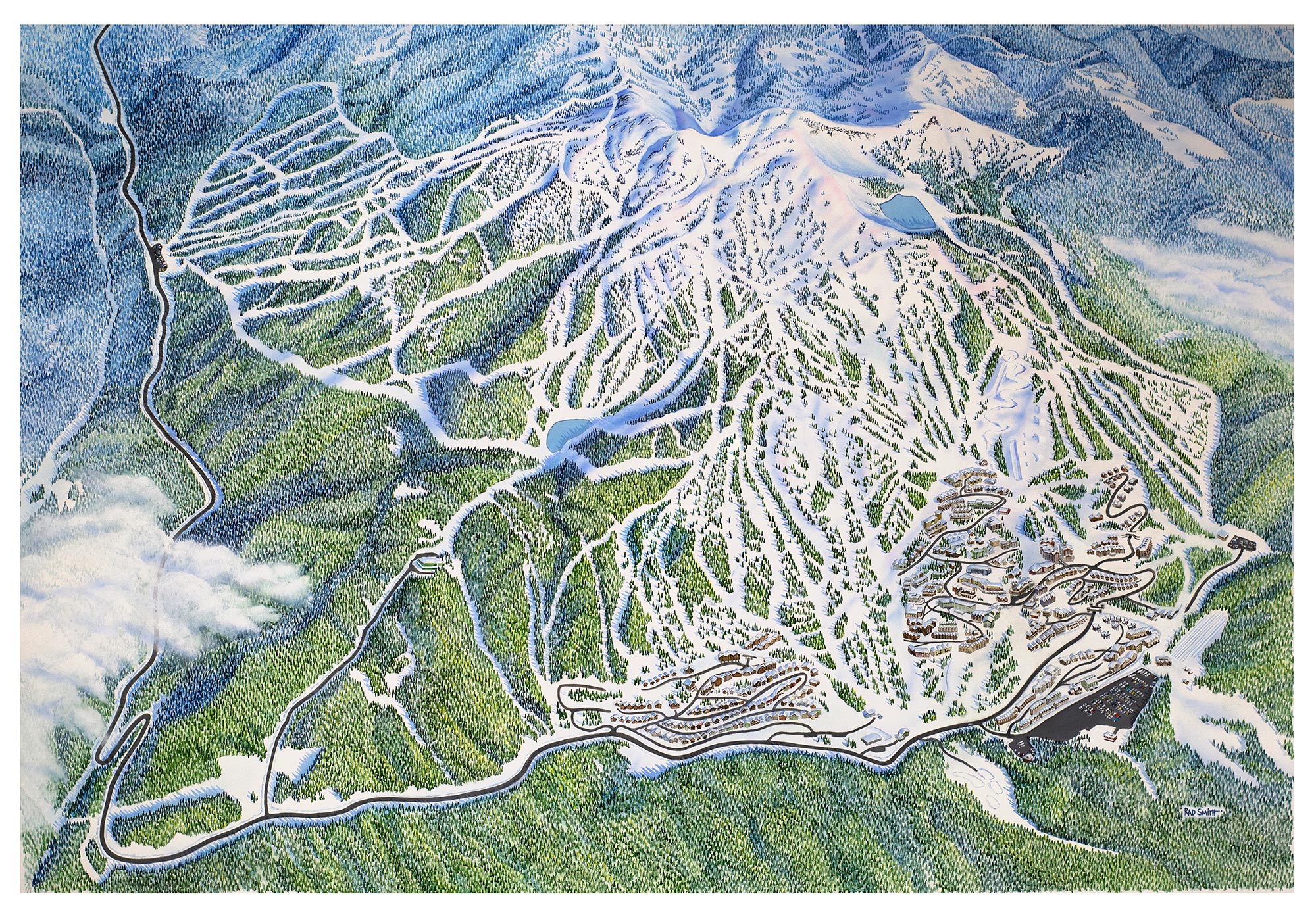
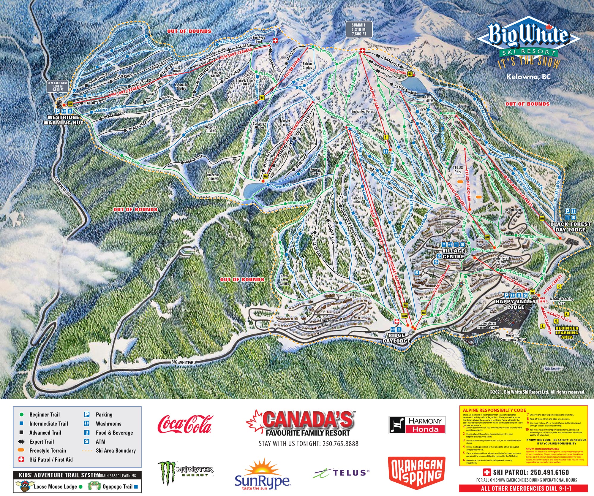
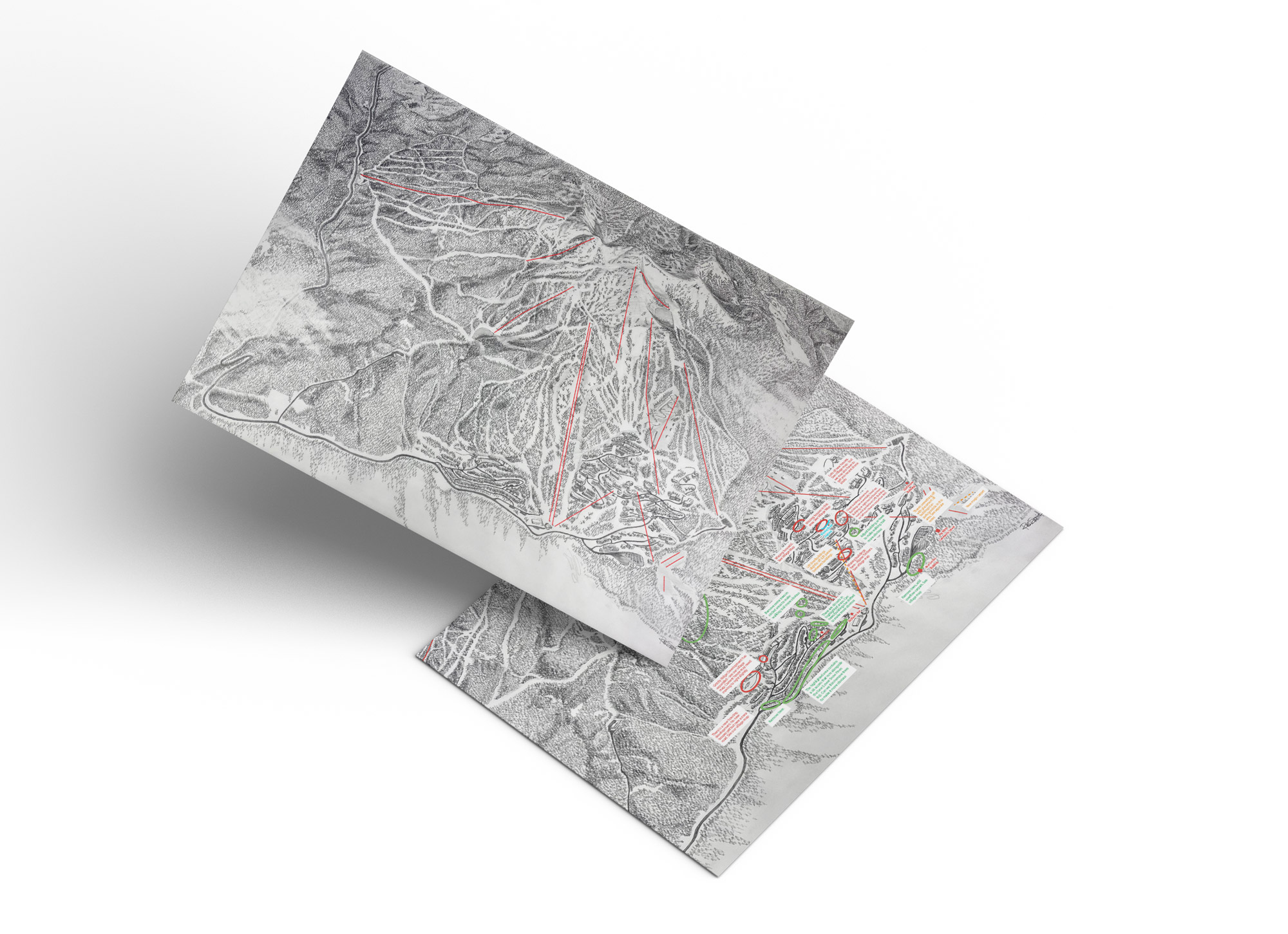
In the 2020-2021 season, Big White Ski Resort embarked on a significant endeavour to revamp their alpine trail map, enlisting the expertise of an illustrator/cartographer. Initially involved during the early stages of sketching and painting, I played a pivotal role in ensuring accuracy and providing valuable feedback. Leveraging satellite maps, aerial photographs, and my intimate knowledge of the mountain terrain, I collaborated closely with the artist to address various concerns.

As the project progressed, I assumed leadership of the project, spearheading a meticulous review process. By enlisting the help of our Outdoor Operations team and subject matter experts, I meticulously incorporated the alpine trail network, facilities, and key features, ensuring comprehensive coverage and accuracy.

I loved every minute of the hands-on review and development process – from scrutinizing the design alongside domain experts and dedicating countless hours to fine-tuning trails and terrain for optimal precision.

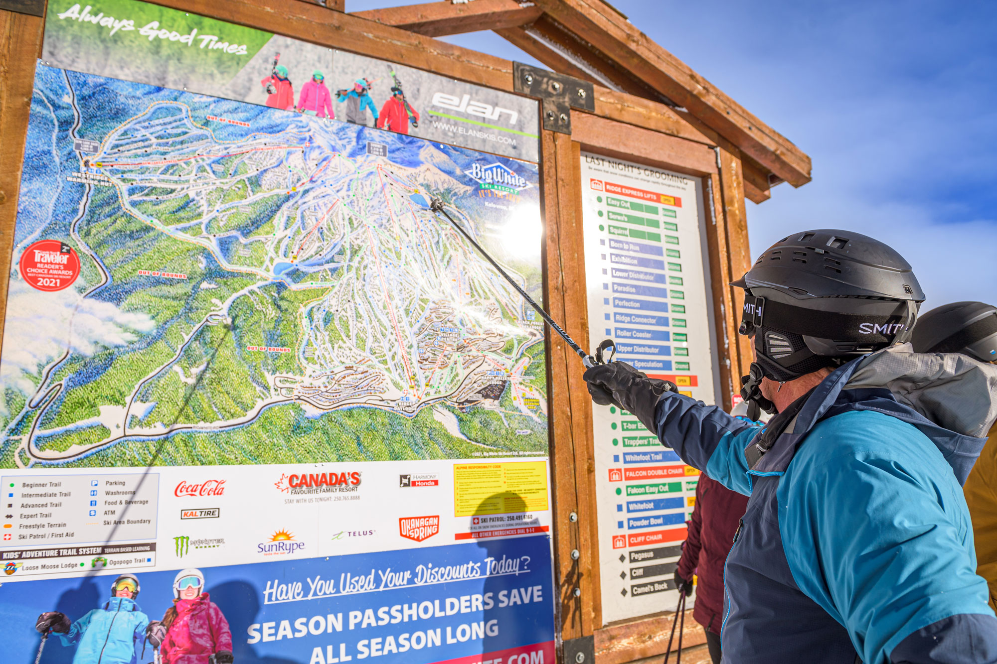
Following its release in 2021, the map has become a cornerstone asset utilized across multiple platforms, from on-mountain signage to decorative canvas artwork and even blankets. Currently, I am entrusted with the ongoing maintenance and oversight of the map, ensuring its continued efficacy and relevance.

Resort Village Map

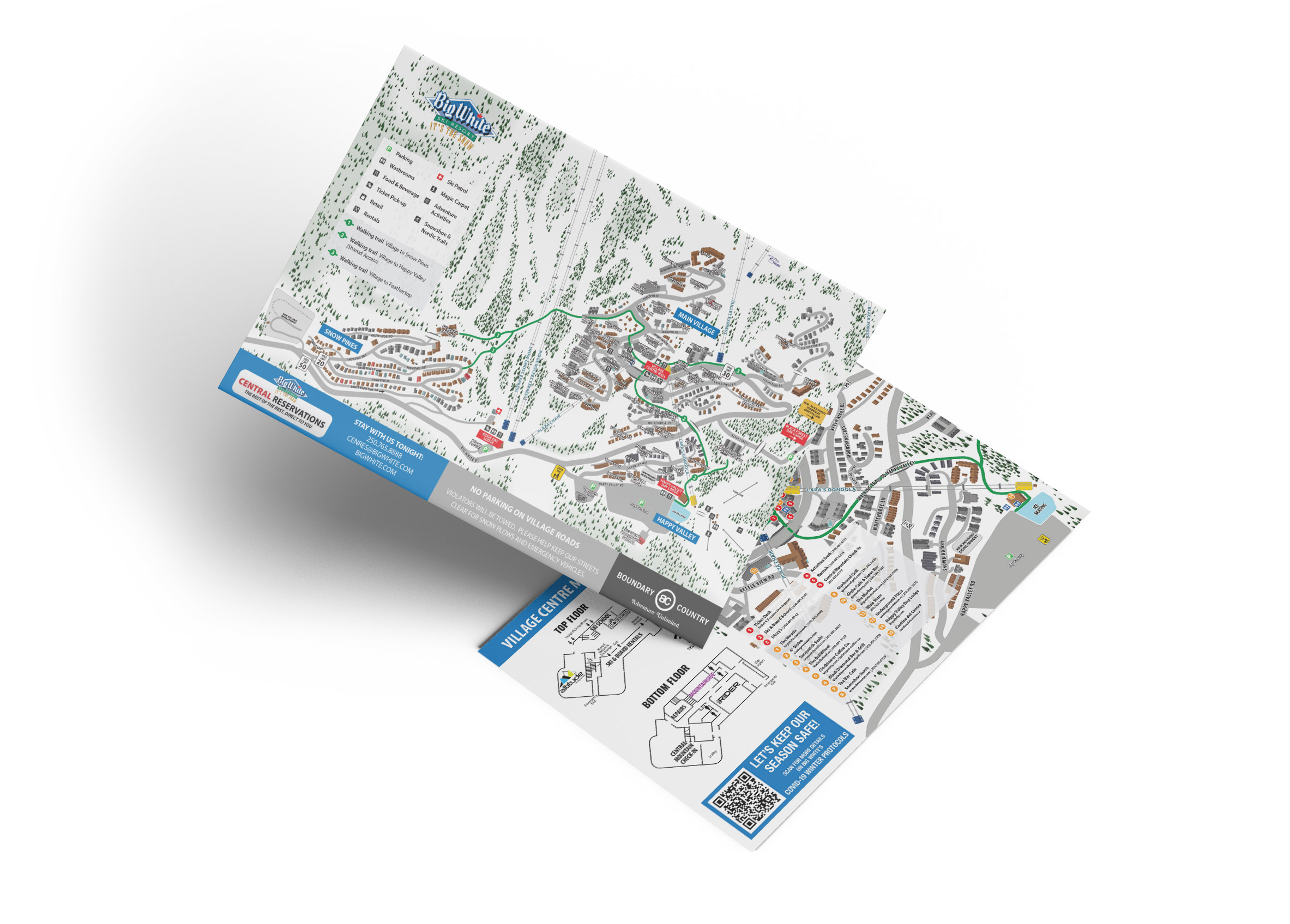
The previous version of the Big White Village map dates back to 2004, and since then, substantial development has transformed the village area. Unfortunately, the original base vector files were lost long ago, making the annual updating of the map a laborious process of making change upon change upon change on top of a base jpg file. Affectionately dubbed a “Frankenstein construct” by the graphics department, updating it was one of our most dreaded and labour intensive chores.

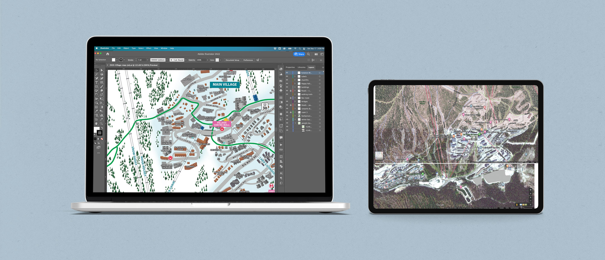
In 2020, amidst the reduced demand for graphics due to uncertainties surrounding events and operations—excluding Covid-19 signage—I recognized an opportunity to overhaul the map completely. I envisioned a fully layered, customizable vector map that could be easily adapted to changing circumstances, particularly crucial during the pandemic when traditional resort services faced uncertainties.

Drawing upon satellite imagery, aerial photographs, and on-site visits, I meticulously crafted the base artwork from scratch. Following this, I conducted a comprehensive review of village maps from various resorts and engaged stakeholders to understand their present and future needs. Layer by layer, I painstakingly added features, ensuring they were arranged for effortless editing.

With the gradual return of regular operations and ongoing development, updating the map annually has evolved into a straightforward process. Notably, last year’s swift incorporation of the on-mountain shuttle route and stops—announced merely 2 days in advance—underscored the efficiency of our updated map. This efficiency stemmed from both the meticulously labeled layers and the foresight I had during the redesign process. Anticipating the eventual return of the on-mountain shuttle, I included the old route map in the redesign, streamlining the addition of the shuttle route with minimal effort.

Other Resort Maps

Tracy Burns

ADDRESS

Big White Ski Resort
BC, Canada

CONTACT

tracy@latitude49.ca